openEO
Urban Heat Island Intensity (JJA)
Computes per-pixel Urban Heat Island (UHI) intensity for a given area and time period using Landsat 8/9 TIRS Band 10 Land Surface Temperature (LST) and ESA CCI land cover.
Algorithm:
- Load Landsat TIRS B10, convert to °C.
- Aggregate to JJA (June-August) mean across all years in the requested temporal extent.
- Load ESA CCI land cover; resample to LST grid.
- Separate urban (CCI=190) and rural pixels.
- Compute local rural mean LST with a moving-window kernel.
- UHI = LST_urban - local_rural_mean (urban pixels only).
Preview
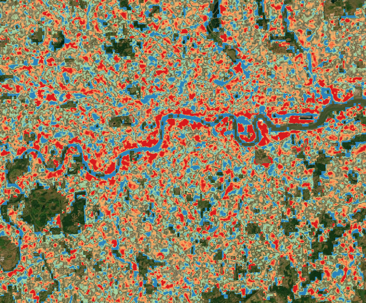
Preview of UHI Intensity in London